
Adapted from: Hindustan Times | Published: May 21, 2025
This article is based on original reporting by Hindustan Times. It has been adapted for clarity and brevity. Key facts and advisories remain unchanged.
The India Meteorological Department (IMD) has forecast the formation of a low-pressure area over the east-central Arabian Sea, near the North Karnataka-Goa coasts. According to the agency, this weather system is expected to develop within the next 12 hours and could intensify into a depression within the subsequent 36 hours.
")
The IMD warned that the system may continue strengthening as it moves northward, with the potential to evolve into a cyclonic storm depending on upcoming atmospheric and oceanic conditions.
Meteorological context:
An upper air cyclonic circulation currently lies over the east-central Arabian Sea. A related trough extends from this system to Coastal Andhra Pradesh, contributing to unstable weather in southern and central India.
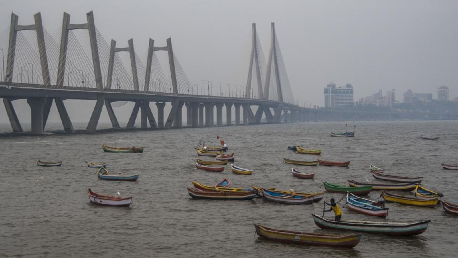
⚠️ Advisories for Fishermen
Due to anticipated strong winds and rough seas, the IMD has issued multiple advisories:
-
Do not venture into the east-central and southeast Arabian Sea, and the coastal waters off Kerala, Karnataka, Konkan, Goa, and parts of Gujarat and Lakshadweep, from May 21 to May 26.
-
Avoid fishing in the southwest Arabian Sea and off the Somalia coast during the same period.
-
The Andhra Pradesh coast and adjoining Bay of Bengal are also under advisory from May 21 to 26, as is the Andaman Sea on May 26.
🌩️ Weather Activity in Northern and Northeastern India
Apart from southern developments, an upper air circulation over Punjab and surrounding areas is influencing an east-west trough reaching eastern Bangladesh. Another system over central Assam may bring rain and thunderstorms to parts of northeastern India, the IMD said.
Summary
The IMD is closely monitoring evolving weather patterns over the Arabian Sea and other regions of India. Mariners and coastal communities are urged to stay alert and follow official advisories to ensure safety.